
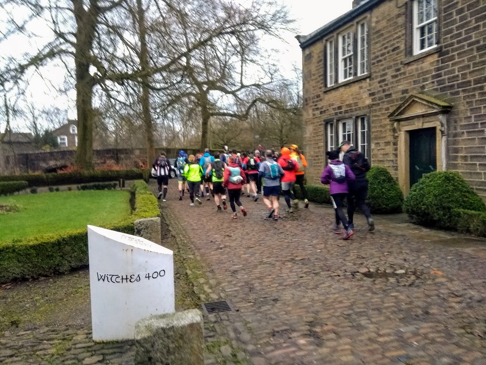
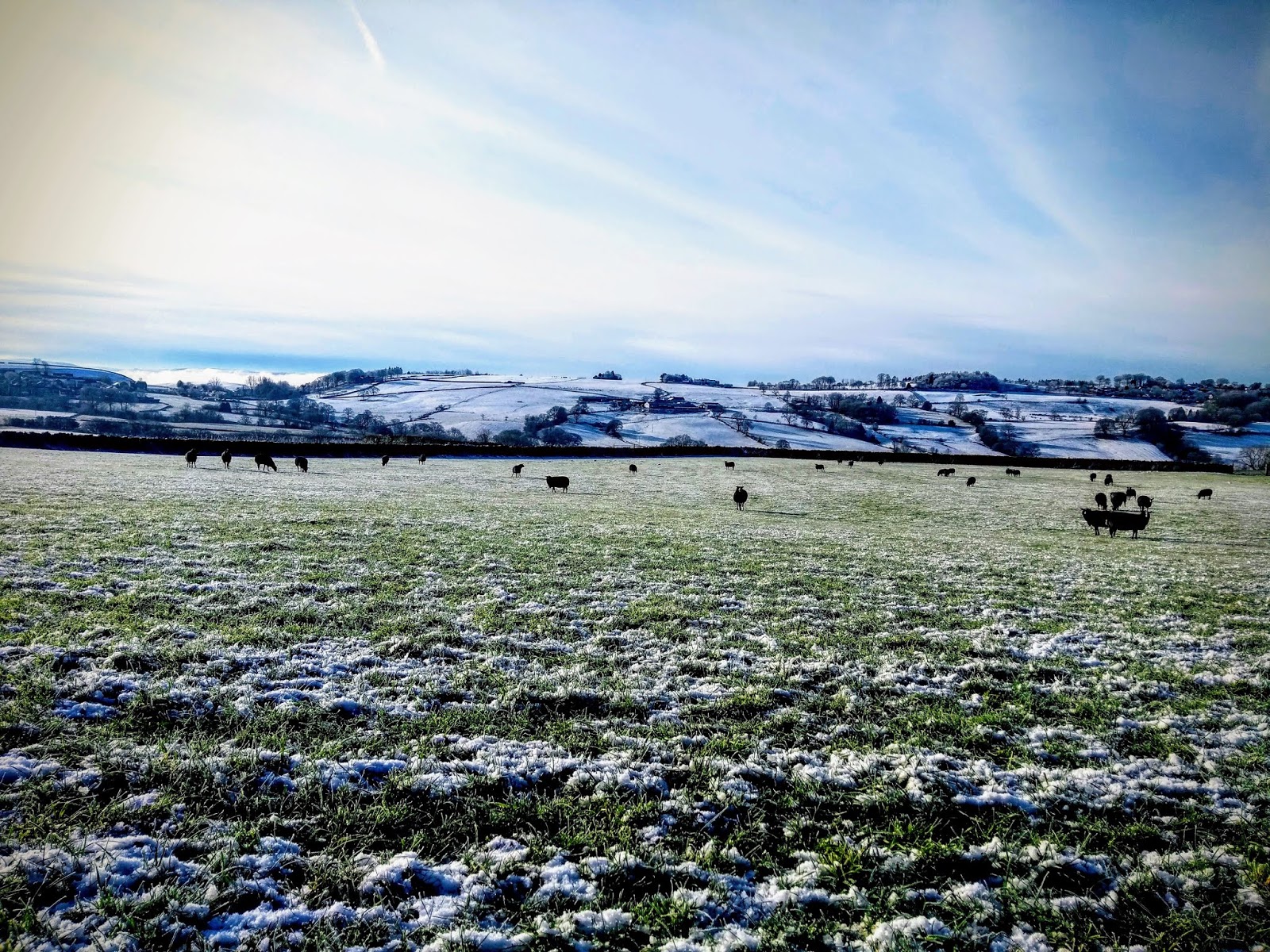
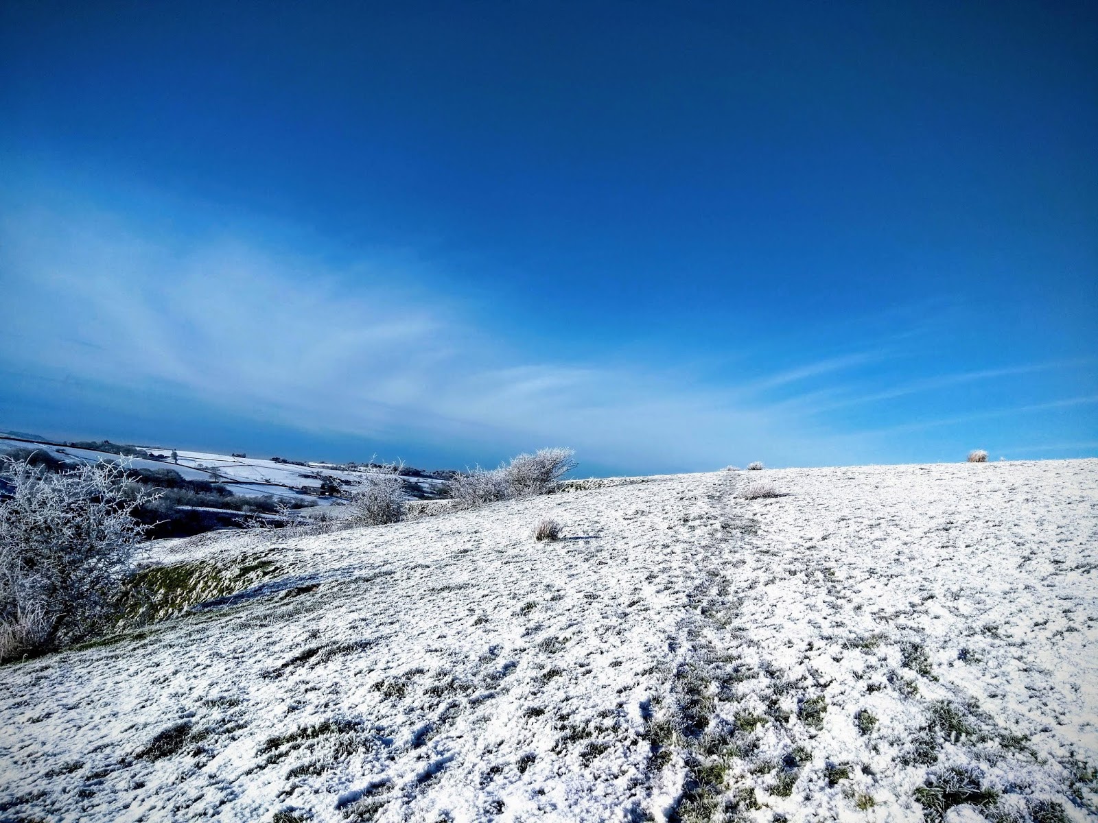
The Pendle Way In A Day – A Winter Ultra in East Lancashire – is a fully waymarked trail challenge event in the gritty yet beautiful trails and moorlands of the South Pennines in early February, starting and finishing from Barley Village Hall in Barley, Pendle.
A full circular of the Pendle Way of approximately 45miles with 6100ft ascent (68.8km, 1848m) and an alternative option of approximately 30miles with 4500ft (46.5km, 1343m) open to both Runners and Walkers.
The Full Route – 45miles
Starting at Barley Village Hall at the foot of Pendle Hill you’ll head through the fields through to the village of Barrowford and past the Pendle Heritage Centre. On by the riverside to Blacko through Weets Hill and moorland paths to reach Barnoldswick, then partly alongside the Leeds and Liverpool Canal to Checkpoint 1 (CP1) at Earby YHA.
From Earby the path proceeds via Kelbrook to Laneshawbridge (CP2) and onwards via Wycoller along the foothills of Boulsworth through Coldwell to Southfield (CP3).

From there the path proceeds through farmland to Reedley and then via Higham (CP4) to Newchurch.
It culminates with an ascent of Pendle Hill and down to the finish at Barley.
In total the route is approximately 45miles with 6100ft ascent (68.7km, 1848m)
The Route can be viewed here : OS Maps (also the digital mapping is highly recommended)
The GPX available here (right click ‘Save Link As’ to download): 45mile GPX
The Written Instructions will be here: Written Instructions
OS Map (1:25k) available will be provided on the day: Map
Garmin Connect course available here: Garmin Connect
Please note the GPX track is available for guidance only and SHOULD NOT be used as a navigational aid.
Start:
Walkers 7am
Runners 8am
CHECKPOINTS:
Checkpoint and Leg details as follows
Start at Barley Village Hall.
CP1 : Earby – 24km (24km total)
CP2 : Laneshawbridge – 10.5km (34.5km total)
CP3 : Southfield Chapel – 12.5km (47km total)
CP4 : Higham Village Hall – 10km (57km total) – (hot food & drinks)
Finish : Barley Village Hall – 11.5km (68.5km total)
Checkpoint closure times in line with completion by Midnight
(17hrs for Walkers, 16hrs for Runners)
The Alternative Route – 30miles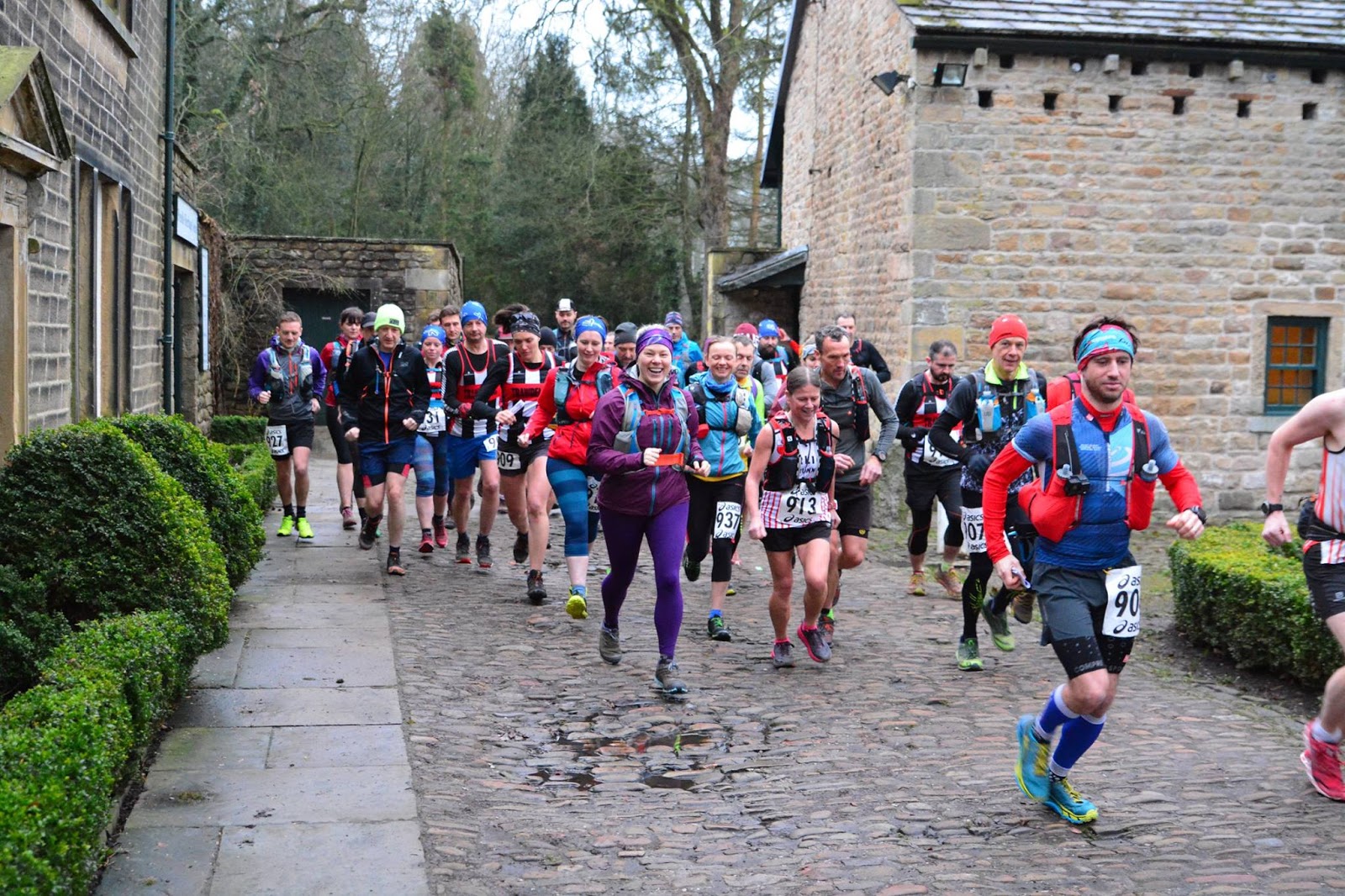
From the start in Barley, this alternative route follows the Pendle Way with a short tarmac stretch via Higherford and Law Hill to Laneshawbridge (your first checkpoint) and follow the remainder of the full route.
In total the route is approx. 30miles with 4406ft ascent (46km, 1343m)

The Route can be viewed here : OS Maps
The GPX available here (right click ‘Save Link As’ to download): 30mile GPX
The Written Instructions available here: Written Instructions
OS Map (1:25k) available will be provided on the day: Map
Garmin Connect course available here: Garmin Connect
Please note the GPX track is available for guidance only and SHOULD NOT be used as a navigational aid.
Mass Start 10am

CHECKPOINTS:
Checkpoint and Leg details as follows
Start at Barley Village Hall.
CP1 : Laneshawbridge – 12.3km (12.3km total)
CP2 : Southfield Chapel – 12.5km (24.8km total)
CP3 : Higham Village Hall – 10km (34.8km total) – (hot food & drinks)
Finish : Barley Village Hall – 11.5km (46.3km total)
Checkpoint closure times in line with completion by Midnight (14hours)
Both routes will be subject to some minor changes.
Each checkpoint will carry water, biscuits and first aid kit. Please ask a marshal if you require assistance. Please ensure you are self sufficient by carrying appropriate clothing and food/drink dependant on the weather.
Any entrant arriving at a checkpoint after the closing time will be asked to retire from the race. If you intend to retire from the event, this can be done at any checkpoint or the finish location; please tell the marshal you wish to do so and hand your tally. This ensures all runners are accounted for and avoids unnecessarily raising calls for emergency support from rescue services.
The Pendle Way is covered on OS Explorer Map OL21 South Pennines.
